


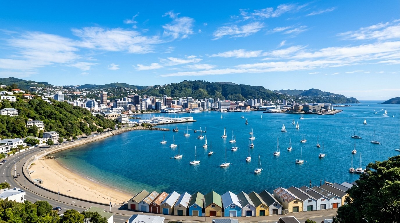
Auckland, Wellington, Christchurch, Dunedin and smaller regional centres offer different daily systems. The right fit depends on how people move, work, access services and connect with place.
Choose a daily system, not a postcard
New Zealand is often described through outdoor scenery, yet the place where someone lives is experienced through repeatable routines: the school run, the commute, the nearest supermarket, public transport, healthcare, sport, family and community. A city’s landscape can be striking, but daily fit depends on what is reachable without turning every task into a long drive.
Auckland offers the country’s largest urban network, with dense employment areas, suburbs, ferries and varied neighbourhoods. Wellington has a compact centre, steep terrain and a public-sector and creative economy. Christchurch combines a broad urban footprint with access to the Canterbury plains and the Southern Alps. Hamilton sits within a strong Waikato transport and agricultural region; Tauranga and the Bay of Plenty connect a growing urban area to coastal and horticultural life. Dunedin has a university-centred identity, a distinctive built environment and a strong southern setting.
These broad descriptions are starting points rather than guarantees. A person’s actual experience depends on suburb, income, work pattern, household size and social network. Two people in the same city can have entirely different routines because one lives near a frequent bus line and the other needs a car for every trip.
How the main centres differ
An ordinary work and school week reveals more about a region than a long weekend alone.
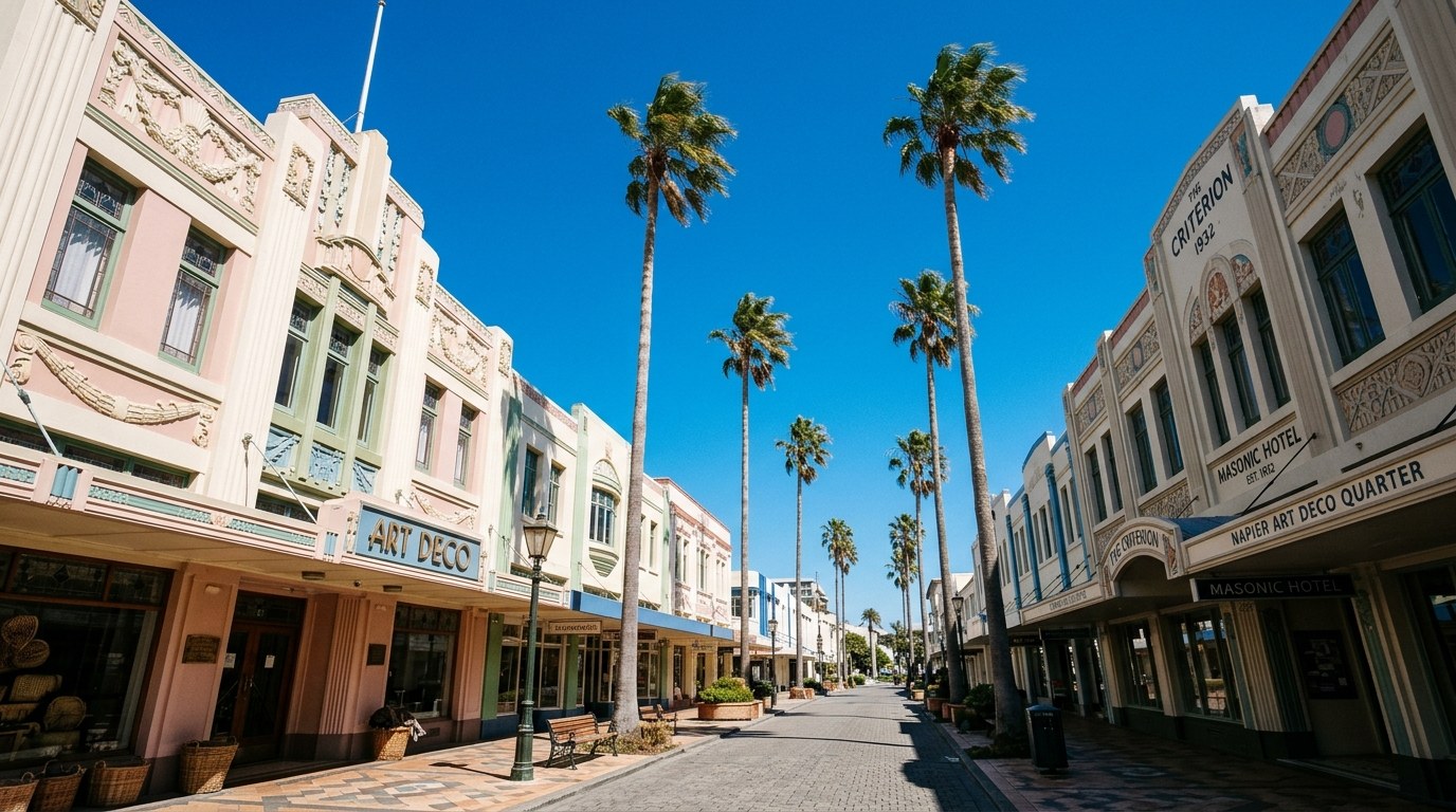
Regions function as networks
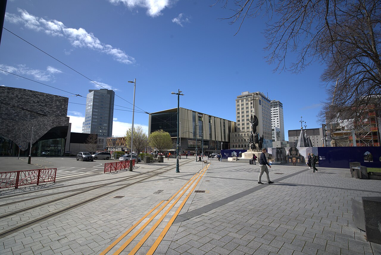
Work, study, healthcare, port and family networks often cross council boundaries. A regional centre may provide specialist services while smaller towns sustain close community networks and a different pace. Trips between home, work, school and essential services show how a region functions in practice.
| Centre or region | Daily pattern | Useful when | Check before choosing |
|---|---|---|---|
| Auckland and Tāmaki Makaurau | Large, diverse urban area with multiple employment and cultural hubs | Work, education, family or community networks are spread across a broad metro | Commute direction, public transport coverage, traffic and suburb-to-suburb travel |
| Wellington and Te Whanganui-a-Tara | Compact centre, hills, harbour, public-sector and creative activity | Walkability and access to national institutions matter | Wind exposure, housing location and transport during disruptions |
| Christchurch and Canterbury | Wide street grid, rebuilding history and links to rural plains and high country | Space, access to services and an urban base near outdoor regions are priorities | Daily travel distances and whether a car is needed for work or family routines |
| Hamilton and Waikato | Regional hub connected to agriculture, education, health and surrounding towns | Regional services and inland transport links matter | Where employment and services sit relative to housing and transit |
| Tauranga and Bay of Plenty | Coastal growth, port activity, horticulture and strong seasonal movement | Work, family or recreation connect to the eastern North Island | Peak traffic, housing pressure and access between the city and nearby settlements |
| Dunedin and Otago | University and health services, historic urban areas and a southern regional role | Education, health, science or a smaller-city rhythm are central | Distance to other centres, local weather and transport outside the core |
The North Island’s economic geography links Auckland with Waikato, Bay of Plenty, Tairāwhiti and Wellington through transport and supply chains. The South Island has its own spine: Christchurch and Canterbury, Nelson and Marlborough, the West Coast, Otago, Southland and Rakiura each connect to different industries and services. Rural work can involve long distances even when the nearest town appears close on a map.
MBIE’s regional profiles help compare employment, income, population and industry patterns. Those indicators are useful for spotting broad differences, but they do not describe a specific neighbourhood or household. Local council plans, transport timetables and school zones may answer the more practical question.
Transport determines what feels close
In the largest cities, buses, trains, ferries and cycling routes can make some trips possible without a car. The network is not equally frequent in every suburb, and late-night or weekend service can differ from weekday commuting. Check the route at the time a trip would actually happen. A station nearby is less useful if the service does not run when a shift ends.
Smaller centres often have short local trips but thinner public transport. A car may be necessary for regional work, medical appointments or family responsibilities. That choice changes the real cost of living and the amount of time spent travelling. A household comparing suburbs should map the actual school, workplace, shops and support network rather than measuring only the distance to the central business district.
Remote and hybrid work has changed some routines, yet it has not removed the need for reliable internet, childcare, professional networks or occasional travel. A town can feel well connected online while remaining far from a specialist service or airport.
Climate and terrain shape ordinary choices
Wind is part of Wellington’s everyday geography; hills affect walking and cycling there and in many other centres. Christchurch’s flat core changes the feel of a short trip, while its surrounding plains make longer regional journeys straightforward in one direction and mountain crossings more demanding in another. Coastal cities can have weather exposure, and inland towns can experience sharper temperature changes.
These differences affect clothing, transport reliability, recreation and energy use. A home near the sea may offer easy access to a beach while facing wind or salt exposure. A hillside suburb may have a view but require a steeper walk or a more complex bus journey. Local terrain can matter more to daily fit than a city’s national reputation.
Community is a reason people stay
People often choose a region because family, language, faith, sport or community organisations are already there. Māori relationships to rohe and whenua are central for many whānau, while Pacific, Asian and migrant communities build networks through local institutions and cultural life. A regional centre can be a point of connection for smaller towns and rural families.
Libraries, sports clubs, community centres, schools, markets and volunteer groups are common routes into local networks. Opening hours, transport and membership costs influence access; an events calendar does not show whether an activity fits around work or family duties. Regular contact through clubs and neighbourhood groups builds familiarity over time.
Place names, local histories and regional accents also reveal how a city understands itself. A community may hold memories of settlement, industry, migration or environmental change that are not obvious in a tourism brochure. Local museums and iwi-led interpretation can make those layers easier to see.
Compare locations with a weekly-life map
- Mark the places visited every week: work, education, health care, groceries, family and recreation.
- Estimate the trip at the actual time of day, including transfers, parking and walking.
- Check which routes remain available if a car is unavailable or a service is disrupted.
- Identify the regional hospital, airport, specialist services and emergency options.
- Consider the community connections that matter to the household alongside amenities shown in a property listing.
This simple map makes a location comparison more personal. A smaller city can be a better fit when essential services are close and the household’s work is stable there. A large city can be a better fit when professional networks, specialist care or public transport options make other routines easier.
The cost of living guide separates housing, transport and household expenses; the education overview explains school and post-school pathways. Employment patterns are covered in work and business in New Zealand.
Regional change is uneven
Population growth, transport projects, housing development, climate exposure and industry changes affect regions at different speeds. A new road can alter commuting patterns; a major employer can change local demand; a coastal hazard can reshape planning. These changes do not happen uniformly across a whole region.
Housing construction, transport works, job patterns and changes to local services alter daily trips in some neighbourhoods sooner than others. Travel times, services and community ties vary between suburbs and towns within the same region, so a regional label alone gives little indication of a household’s daily routine.
| City area | Usual residents | June 2026 year change |
|---|---|---|
| Auckland | 1,841,200 | +1.2% |
| Christchurch | 422,400 | +0.9% |
| Wellington | 208,300 | −0.6% |
| Hamilton | 193,300 | +1.0% |
These are territorial-authority estimates, not wider metropolitan-area totals, and Stats NZ labels the June 2026 estimates provisional. The figures help explain why “city size” and “regional reach” are different comparisons: Hamilton and Christchurch serve much larger hinterlands than their council-area populations alone suggest. Stats NZ’s release provides definitions and the full local-authority tables.