


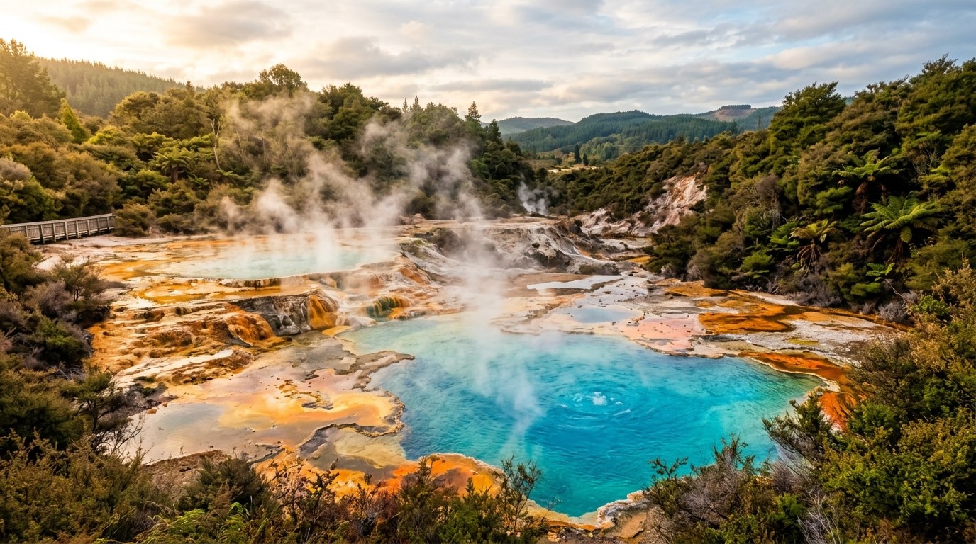
The North Island is easier to understand as a sequence of changing landscapes than as a short checklist: an urban isthmus, northern coasts, central volcanoes, fertile plains and a capital at the strait.
Read the island by its transitions
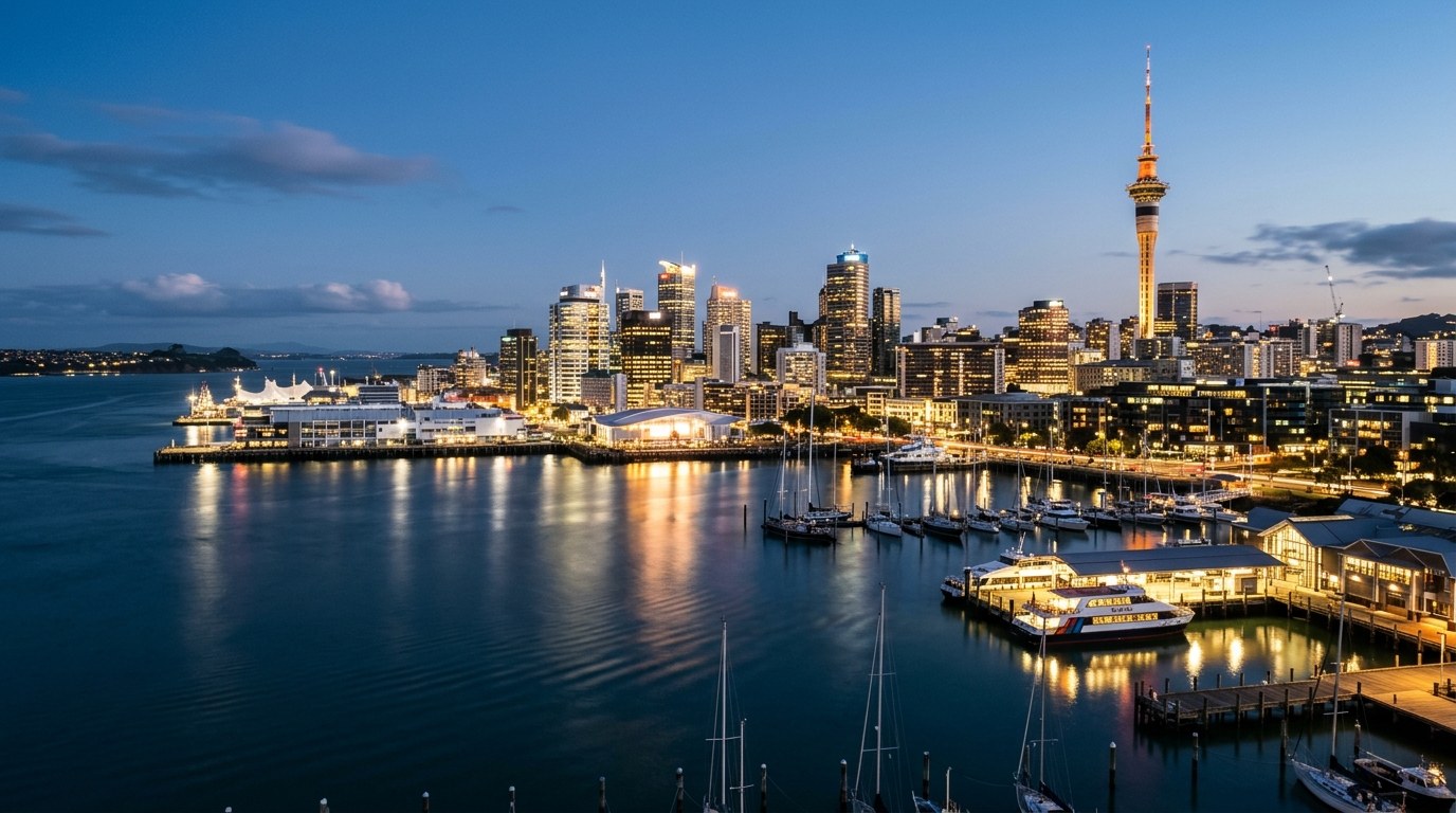
Auckland sits between two harbours on a narrow volcanic isthmus; north of it, the coastline opens into long peninsulas, bays and subtropical forest. Inland, the Waikato becomes a broad agricultural basin before the land rises toward the volcanic plateau. Farther south, hills and farmland give way to Wellington’s harbour and steep streets. The distances between these regions can look compact on a screen, yet a trip that crosses all of them is a real road journey.
Auckland neighbourhoods, Northland beaches, Rotorua’s geothermal areas and Tongariro’s alpine tracks ask for different kinds of days. Place overnight stops near the activities they support. If a night is only a break in a long drive, it should shorten the next day; if a town is part of the visit, leave time to walk its centre or visit a local site.
Group the trip around two or three overnight bases: Auckland, Rotorua or Taupō, then Wellington, Northland, Tairāwhiti or the central plateau. Keep nearby coast, town and walking days together; fewer long transfers leave more time at each base.
Choose a northern or southbound shape
Auckland works as a city base as well as an arrival point. Its suburbs have distinct food and arts scenes, and Hauraki Gulf ferries connect the waterfront with nearby islands. For a city-centred stay, traffic and parking can make a car less practical than public transport.
Northland rewards travellers who avoid compressing the peninsula into a single day. The Bay of Islands is one part of a region that also includes the Hokianga, Whangārei, remote beaches and kauri landscapes. Any visit to culturally significant sites should follow local access rules and the guidance given at the site; a scenic viewpoint does not automatically mean unrestricted access.
Let the volcanic centre set the pace
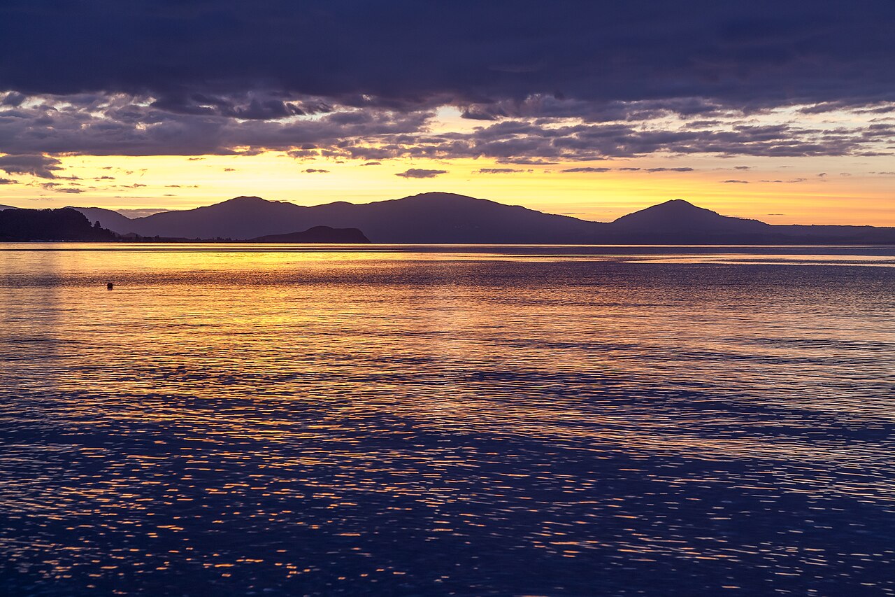
The central plateau connects Rotorua and Taupō with Tongariro and the high country. Springs, steaming ground, volcanic terrain and alpine weather shape the day plan, so the region merits time beyond a cross-island transfer.
Geothermal areas are not informal bathing spots. Water temperature and ground stability can be dangerous, and access is managed differently at commercial attractions, public reserves and culturally significant places. Stay on marked paths, obey barriers and never treat a coloured pool as a safe place to test. The same respect applies to volcanic alert information; an itinerary should change when authorities close an area or raise a warning.
The Tongariro area has a different rhythm from the lake towns. Alpine conditions can shift quickly, even when a nearby settlement feels mild. A famous crossing is still a demanding mountain walk, not a casual extension of a town visit. Track status, transport arrangements, weather, clothing and fitness all belong in the decision.
Let people and places shape your route
North Island travel crosses the rohe of many iwi and hapū. Māori place names, histories and relationships to land are part of the landscape rather than decorative labels on a road map. Some sites welcome visitors under clear conditions; others are private, restricted or require local interpretation. A brief sign can mark only one layer of a place’s meaning.
A morning market, local museum, resident-used coastal path or meal based on nearby produce can show how a town works. These stops give smaller places a role in the itinerary beyond fuel and accommodation. Locally run events and businesses may keep shorter hours or have limited capacity.
The guide to lesser-known places considers how local access, opening hours and community scale shape a worthwhile detour.
Food changes with geography. Northland and the Bay of Plenty have coastal and horticultural influences; Waikato’s rural economy is visible in the landscape; Wellington’s compact centre supports a dense mix of cafés and cultural venues. These are not fixed regional menus, but clues to the wider character of each stop.
Use a realistic daily distance
On a North Island road trip, a line on a map hides the time spent passing through towns, finding parking, waiting for a ferry or turning onto a narrow coastal road. Roads can be steep, winding or under repair. An itinerary that includes several large attractions after a long transfer may leave the driver tired and the visit rushed. Keep one flexible block in the day for food, a short walk or a weather change.
| Area | Travel character | Good fit when | Planning friction |
|---|---|---|---|
| Northland and Te Tai Tokerau | Harbours, beaches, kauri country and historic settlements | The coast, boating or a slower multi-night stay is central | Many attractive bays sit along side roads; allow extra time between them |
| Auckland and Hauraki Gulf | Dense urban neighbourhoods, islands, food and culture | A city base with ferry-accessible day trips suits the group | Peak-hour traffic and island timetables shape the day |
| Waikato and Waitomo | River country, caves, rural towns and farm landscapes | A west-to-centre transition is more useful than another city stop | Attractions are spread across a wide region; choose a base deliberately |
| Rotorua, Taupō and the plateau | Geothermal features, lakes and volcanic high country | Walking, hot springs or landscape geology anchor the trip | Weather, volcanic alerts and track conditions can alter outdoor plans |
| Tairāwhiti and the East Coast | Pacific-facing beaches, rural settlements and strong local identity | A longer stay can follow coastal roads and local places at an unhurried pace | Services are farther apart than in the central corridor |
| Wellington and lower North Island | Harbour city, museums, food, hills and nearby wine country | Walkable city days can balance a road trip | Wind and weather can affect transport and exposed walks |
Public transport is strongest around Auckland and Wellington, with intercity coach services connecting some larger centres. Rural transport choices are thinner. A car can open up beaches and smaller settlements, but it also commits the trip to road conditions, parking and fatigue management. Mixed travel - city rail or bus, then a hired car for a regional loop - can reduce avoidable driving.
The Department of Conservation’s Land Safety Code sets out the preparations behind a safe day walk: choose a route for the group, check the forecast, carry warm layers and extra food, share the plan and take a reliable way to call for help. River levels, alpine weather and track closures can change the route during the day.
Three North Island routes, no grand tour
- Urban and island week: several Auckland neighbourhoods, a ferry day in the gulf, then a few nights in one coastal or wine-growing area. The structure avoids packing a different suburb into every morning.
- Volcanic centre: Waikato or Waitomo, Rotorua, Taupō and a stay near the plateau. Add walking only after checking the current track and mountain forecast.
- Coastal east: a base around Tairāwhiti, with time for beaches and nearby communities, or a southern route toward Wairarapa and Wellington. The road itself becomes part of the day.
Each journey can be extended, but it has a clear centre of gravity. A North Island itinerary becomes more rewarding when it is shaped around one kind of experience - urban discovery, volcanic land, or coast - then given enough time to notice the places between headline attractions.
Northland’s quieter scale
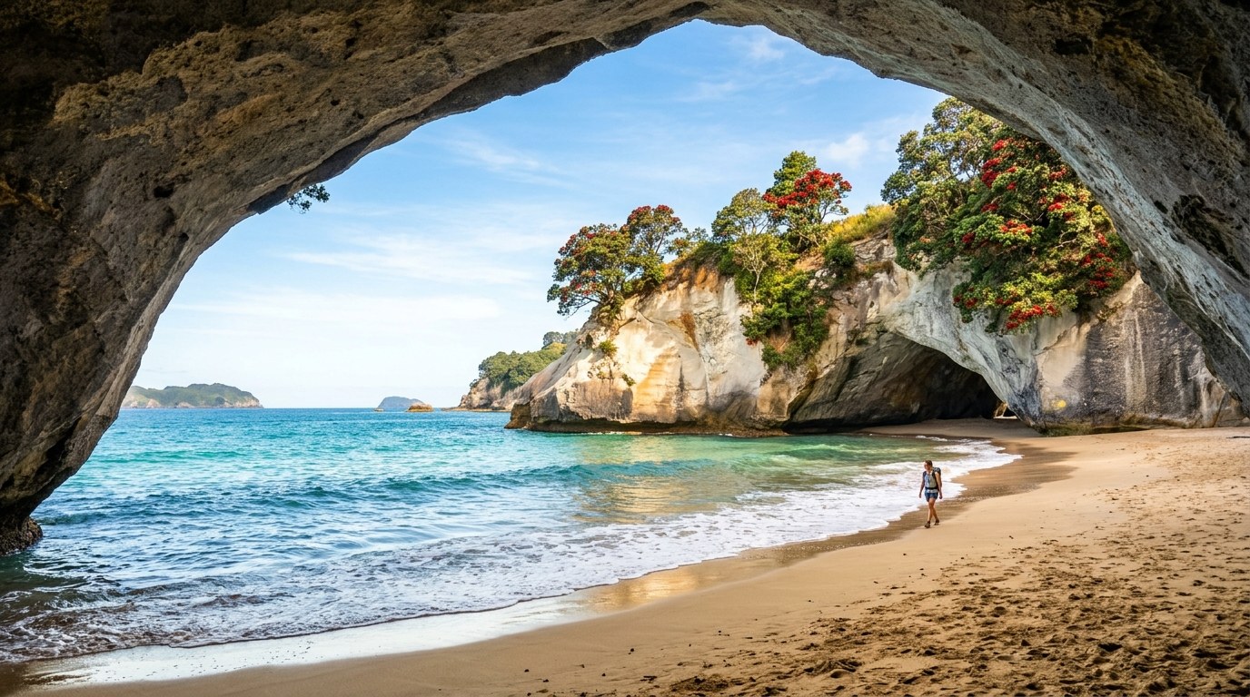
Northland’s coastal roads and smaller settlements often ask for a different tempo from the central highway. A town may have fewer late-opening services, and a popular beach can have limited parking. The region’s appeal lies partly in those pauses: a harbour seen at low tide, a community history display, or a short walk between the road and the sea. These details are easy to lose when the day is planned around a strict arrival time.
On the road north, fuel, food and overnight options become more concentrated around the larger settlements. A route between Whangārei, the Bay of Islands and Cape Reinga can include more repeated driving than its map shape suggests, especially when coastal stops are added. Overnight bases determine whether the last leg is a relaxed visit or a long return drive.