


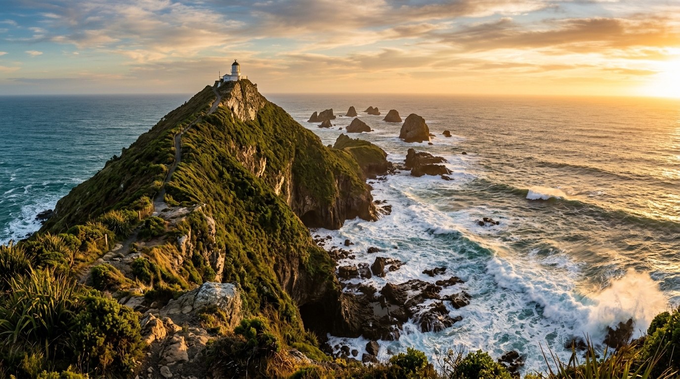
A New Zealand beach is a moving edge between land and sea. Tides, swell, wind, geology and local rules shape what is safe to do there from one hour to the next.
Many habitats on one shoreline
New Zealand’s coast includes sheltered estuaries, tidal flats, rocky platforms, sandy beaches, dunes, harbours, cliffs and exposed headlands. Each setting supports a different mix of plants and animals, and each responds to the sea in a different way. A sheltered inlet can hold mudflats and saltmarsh; an exposed beach is shaped by waves and shifting sand; a rocky platform contains pools that are alternately covered and exposed.
Ports, fishing grounds, customary harvest places, bathing beaches and settlements all occupy the coast. Community use overlaps with wildlife habitat; property boundaries, council bylaws, marine protections and tikanga shape where people can go and what activities are permitted.
That complexity is why a generic “beach day” checklist is not enough. The safer and more respectful plan starts by identifying the kind of coastline, the water conditions, the time of tide, and the rules in force at that exact place.
Tides change both access and risk
At low tide, reefs, mudflats and sand bars may seem to extend a beach. The route back can disappear as the tide rises. A coastal walk should account for tide tables, the shape of the bay and the time needed to return; the shortest line along the shore may become a trap if cliffs or headlands block the high-water route.
Rip currents, shore breaks and submerged rocks are difficult to judge from calm-looking water. Wind can strengthen swell, and river mouths can create dangerous channels. A lifeguarded beach is the best setting for swimming; use the flagged area and follow lifeguard directions. Where no patrol operates, choose a conservative alternative rather than assuming the absence of warning signs means the water is safe.
| Condition | What changes | Safer response |
|---|---|---|
| Rising tide | Sand routes, rock shelves and low ledges can be covered | Check the return route and leave before access narrows |
| Strong wind or swell | Waves, spray and surf-zone power increase | Stay off exposed rocks and use a sheltered location |
| River or estuary mouth | Currents and channels can change rapidly | Do not swim across a mouth or dive into unknown water |
| Hot, still low tide | Rock pools warm and small organisms become exposed | Observe gently; return animals and stones as found |
| Heavy rainfall upstream | Rivers can rise and carry debris to the coast | Keep away from flood channels and check local warnings |
Rock pools are habitats, not souvenirs
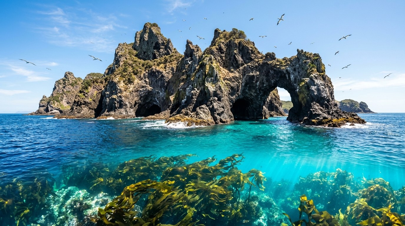
The intertidal zone is a narrow but demanding habitat. Animals cope with drying, heat, changing salinity and wave force by occupying different heights on the shore. Barnacles, limpets, seaweeds, crabs, anemones and shellfish each use a small piece of space. Turning over rocks or removing shellfish can disturb many organisms at once.
Observe with wet hands and minimal handling if a local code allows it, then return rocks to the same position. A rock turned upside down can expose animals to sun and predators. Keep children close near deep pools and sharp edges. Some coastal sites are customary food-gathering places with rāhui or local restrictions; signs and community guidance take priority over a general visitor assumption.
Shellfish gathering rules can change by species, location and season. Marine reserves prohibit taking marine life, and other areas may be subject to temporary closures or size and daily limits. Check current Ministry for Primary Industries rules and local signage before collecting anything. A place that looks abundant can still be under pressure.
What marine reserves protect
A marine reserve is a no-take area designed to protect marine life and habitats. It can include shore, seabed and water beyond what a person sees from land. Fishing, collecting, disturbing or moving organisms may be prohibited; entry and boating rules also depend on the reserve. The mapped boundary defines where its protections apply, including offshore areas that are not visible from shore.
Different protections apply outside reserves. Fisheries rules, customary closures, wildlife protections and council controls can overlap. A reserve map should be read before a fishing or collecting trip, especially when the boundary is offshore or crosses a channel. The Department of Conservation’s marine-reserve guidance and local signage explain the limits for each area.
On the coast, visitors may also encounter marine mammals. Seals and sea lions need room to move between water and shore; people and dogs can block that route. Dolphins and whales are particularly vulnerable to disturbance from vessels and close approaches. DOC sets species-specific distances and activity rules, so use the current guidance rather than a remembered number from another location.
Several reserves make the rules tangible in very different settings. Cape Rodney–Okakari Point, north of Auckland, is known for shore access, snorkelling and diving; Taputeranga Marine Reserve is about 6 km from central Wellington and supports walking, tide-pooling and snorkelling; Akaroa Marine Reserve at the mouth of Akaroa Harbour covers 512 hectares and was established in 2014. Marine reserves are complete no-take areas: fishing, collecting or disturbing marine life is prohibited. Boundaries may extend well beyond the visible beach, so the DOC map matters before a boat, fishing or diving trip. DOC’s A–Z reserve directory gives each reserve’s map and rules.
Coastal change is visible at human scale
Storms move sand and gravel, dunes migrate, cliffs erode and estuaries shift their channels. A beach access that existed last summer may be cut off after a storm; a high-water mark can move landward over time. Coastal erosion is not a uniform line of retreat. The response depends on geology, wave exposure, river sediment, sea level, vegetation and development near the shore.
Natural buffers matter. Dune plants trap sand; wetlands absorb water and provide nursery habitat; shellfish beds and reefs can influence local wave energy. Trampling dunes, driving vehicles on the beach or removing vegetation weakens systems that protect both habitat and nearby buildings. Some shorelines require managed retreat or changes to infrastructure, decisions that involve residents, iwi and councils over many years.
Beach users can distinguish a temporary event from a long-term management issue by observing the place over time and reading local council information. A single storm scar does not tell the full story. Community knowledge, mapped hazards and regular monitoring help set the context for decisions about roads, homes and recreation areas.
Choose coastal activity by exposure
- Swimming: use patrolled water when available and stay between the flags. Avoid swimming alone or after alcohol.
- Rock fishing: wear a properly fitted lifejacket, check swell and escape routes, and never turn your back on the sea.
- Kayaking or paddleboarding: check wind, tide, forecast and return point; carry appropriate safety gear and tell someone the plan.
- Coastal walking: check high-tide access, cliff conditions and track closures. Do not rely on a narrow ledge as a route home.
- Wildlife viewing: use binoculars, remain outside legal approach distances and let animals choose their own direction.
These activities differ in risk even when they begin at the same car park. A calm bay can be suitable for a beginner paddle while a nearby headland is not safe for shore fishing. Choose the activity that matches the least experienced person and the day’s conditions.
Coastal knowledge is local
Beach names and regional guides help visitors find a destination, but they cannot replace local knowledge about currents, customary practice or a temporary rāhui. Māori relationships with the sea are expressed through mana whenua, kaitiakitanga and inherited knowledge connected to particular places. Those concepts are not identical across iwi, and a general website cannot speak for every coast.
Local council beach pages, DOC notices, lifeguard flags, iwi guidance and fisheries closures answer different questions. One source may cover water hazards while another covers customary access or fishing. Reading the right source is part of making a respectful visit.
Water conditions can change fast
A safe morning can turn into a hazardous afternoon as wind, swell or tide changes. Reassess before each swim, crossing or launch, and make the return point part of the plan. New Zealand’s native wildlife guide explains why quiet, low-disturbance observation matters; the conservation guide looks at how coastal habitats fit into wider restoration work.
Estuaries link rivers, wetlands and sea
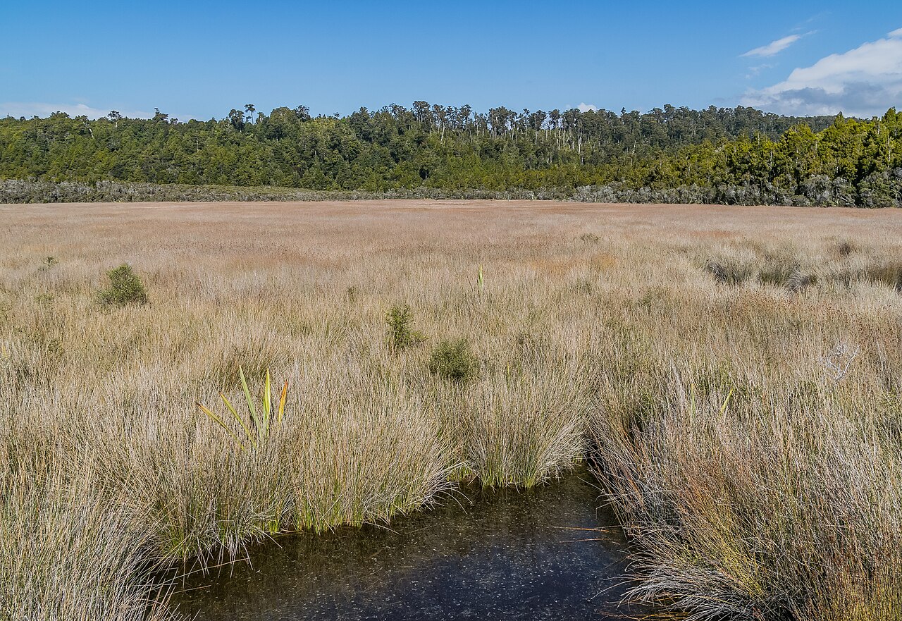
Estuaries are transition zones where freshwater and seawater meet. They hold saltmarsh, mangroves in some northern areas, mudflats, eelgrass and feeding grounds for birds and fish. Tides move nutrients and sediment through the system, while river flow carries material from inland catchments. What happens upstream can affect the water quality and habitat at the coast.
These sheltered places are valuable for young fish and migratory birds, yet they are vulnerable to drainage, sediment, contaminants, development and recreational pressure. Boat wakes can erode a narrow bank; dogs can disturb feeding birds; litter can be carried into the channel on the next tide. A quiet estuary has its own hazards too, including soft mud and rapidly changing channels.
Local council and mana whenua information can identify restoration areas, customary practices and access restrictions. Boardwalks and viewing platforms keep foot traffic on a set route through sensitive wetlands, reducing damage to the plants that stabilise their margins.