


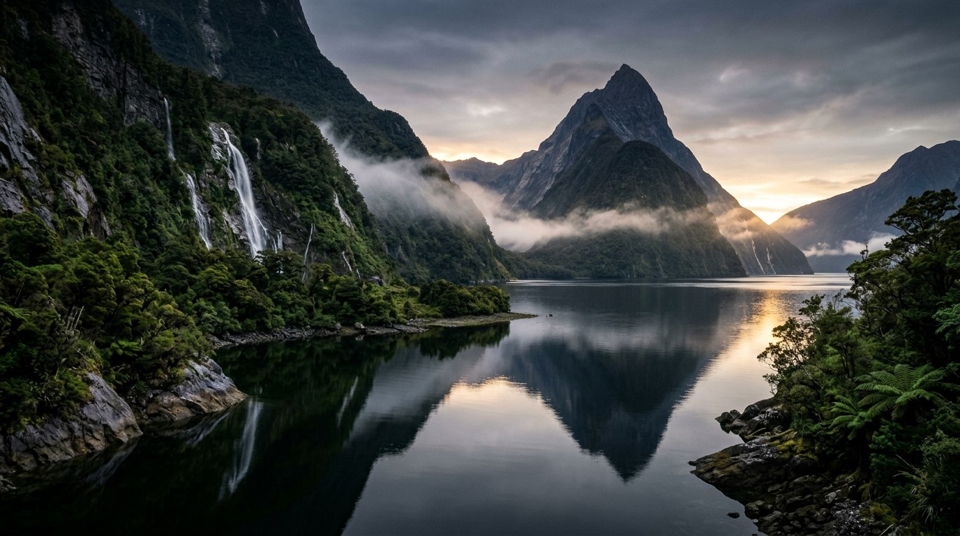
South Island journeys are shaped by mountain ranges: they separate wet western valleys from drier eastern plains, and make each crossing a travel decision of its own.
Let the ranges define the itinerary
The South Island’s regional contrasts are unusually legible. On the western side of the Southern Alps, rainforest, rivers and a rugged coast sit under high rainfall. East of the ranges, the landscape opens into plains, basins, vineyards and drier hill country. Farther south, lakes and glacial valleys lead toward Fiordland and the lower reaches of Southland. A route crossing these zones feels like several trips joined by mountain roads.
Two settlements may look close on a map yet sit across a pass, a long alpine road or a ferry crossing. Group overnight stops along one road corridor, then allow time for weather delays, a longer walk or an extra night before crossing to the next region.
Many travellers arrive through Christchurch or Nelson, while others cross from Wellington to Picton. Each entry point creates a different first region. Treat the inter-island ferry as a booked transport leg with its own timing, check-in and vehicle conditions; it is not a short scenic shortcut that can be added after the rest of the trip is fixed.
Pick a regional spine
The choice is often between depth and distance. A traveller can anchor the visit in one landscape - coast, alpine interior, wine country or fiord - and use its gateway town as a base. Neighbouring regions may look close on a map, but crossings, transfer times and track capacity can turn them into separate legs. The regional profiles below show how each area changes the pace and logistics.
- Nelson and Tasman
- Sheltered bays, forested ranges and coastal walking. Nelson, Motueka or a smaller coastal settlement can anchor different versions of the trip; boat transfers and track capacity shape busy days.
- Marlborough
- The Sounds, vineyard country and the northern ferry gateway meet here. Picton suits a water-and-walking stay; Blenheim gives a different base for inland food and wine routes.
- West Coast
- Rainforest, river valleys and exposed shore form a long, lightly serviced corridor. Break the drive into overnight sections and keep room for road or track closures.
- Canterbury and Mackenzie
- Open plains lead toward braided rivers, high country and alpine views. Christchurch, Tekapo and smaller inland bases support different distances from the mountains.
- Queenstown and Central Otago
- Lake basins and steep ranges sit beside historic towns and drier interior country. Queenstown, Wānaka and Cromwell each serve a different route shape.
- Fiordland, Southland and Rakiura
- Deep fiords, wet forest, farm landscapes and island coast belong to separate journeys. Te Anau, Invercargill and Oban are bases for different transport and service networks.
The western corridor needs weather slack
The West Coast is often remembered through rain, green forest and a dramatic shoreline. Rain is part of the region’s ecology, but it also changes rivers, tracks and road conditions. A planned viewpoint may be hidden by cloud; a track may close after heavy rainfall; a road can be affected by slips. Build a flexible day into any West Coast sequence, especially where a single road links the next overnight stop.
The region is not a continuous string of roadside attractions. Small settlements have distinct histories and service patterns, with significant distances between fuel, food and accommodation. Fill the gaps in the itinerary with practical stops instead of assuming a late arrival will always find every service open.
Plan a long walk around available daylight before fixing overnight transfers. A day walk, guided visit and roadside stop each need different time allowances. Check the Department of Conservation’s current track alerts and weather forecast close to departure; a saved route description may no longer reflect conditions.
Allow time to cross the Alps
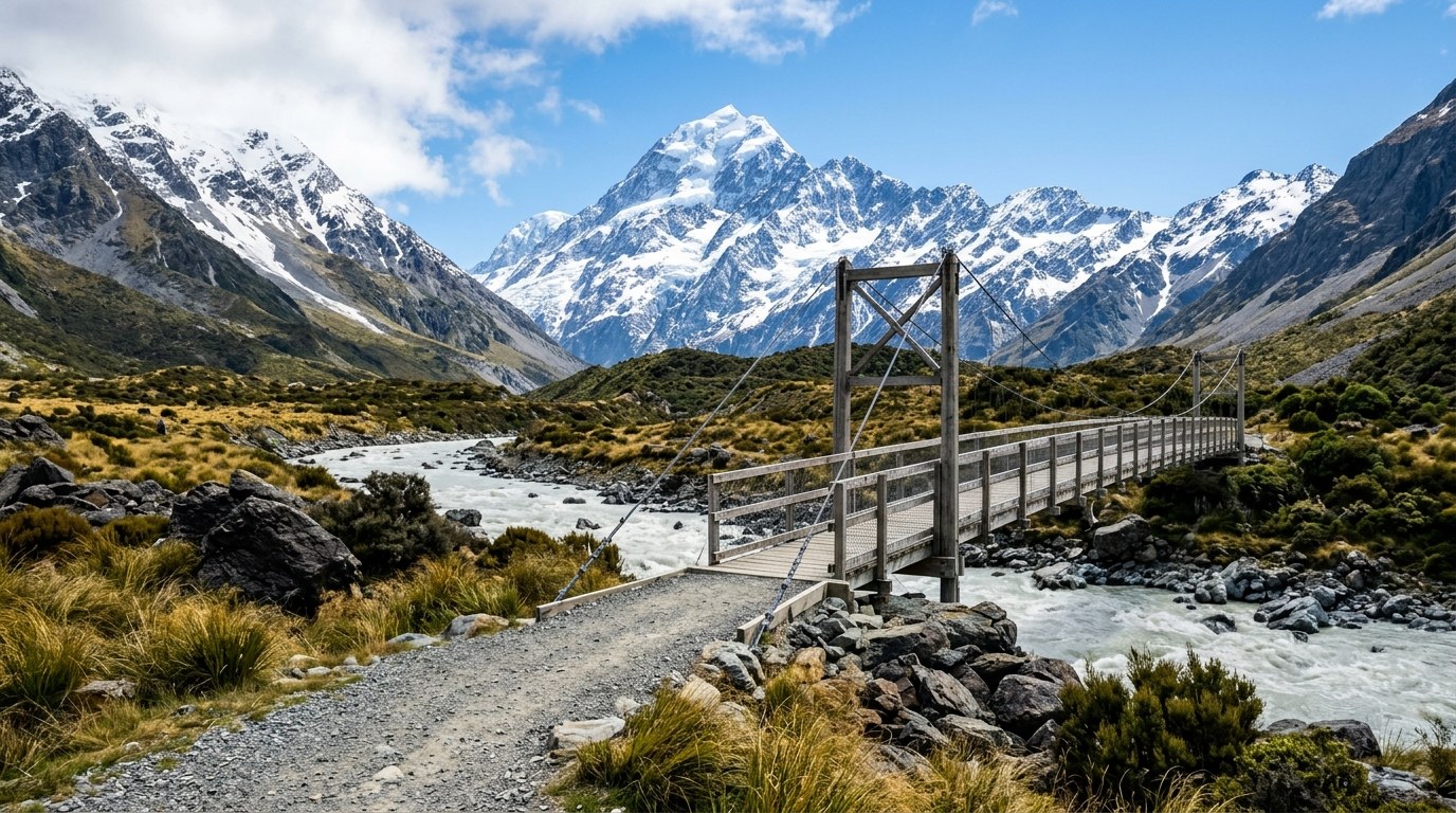
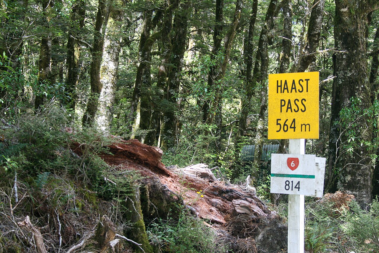
Arthur’s Pass, the Haast route and the roads through the Mackenzie Country connect different worlds, but they are not interchangeable. Each pass has its own gradients, weather exposure and stopping places. The driver should arrive rested and treat the journey as a major part of the day. A short stop at a viewpoint does not create a safe schedule if the full route is being squeezed between booked activities.
Snow and ice can affect high roads outside the winter months; slips, road works and flooding can occur in other seasons. Rental-car conditions can also limit where a vehicle may be driven, particularly on unsealed roads. Check the current road status and rental agreement before choosing a remote detour. A planned route that crosses an alpine pass should have a fallback that does not rely on reaching the same destination before dark.
The Aoraki/Mount Cook and Mackenzie area can feel dry and open even when the alpine environment is severe. Wind, sun exposure and cold can arrive together. A low-altitude walk near a lake is not the same undertaking as an exposed mountain route, and weather layers should reflect the harder activity in the plan.
Fiordland and the south require time buffers
Fiordland is not a quick extension from Queenstown. Milford Sound and Doubtful Sound involve different routes, transport arrangements and time commitments. Milford Road is an alpine road with limited services and avalanche risk in winter; conditions can close the route. A cruise departure is only one piece of a day that also includes driving, parking, weather and return travel.
Te Anau is a practical base for Fiordland, while Queenstown serves a broader lake-and-mountain region. The two towns answer different trip needs. Rakiura/Stewart Island is another separate journey: the ferry or flight, local transport, walking conditions and accommodation availability all influence what can fit into a stay. Treating it as a day trip can remove the quiet hours that make an island visit distinctive.
Invercargill, Bluff and Southland’s inland towns are working communities, with local food, maritime history and coastal landscapes alongside farmland. A route through the region can include these places as destinations rather than treating them as fuel or overnight stops between better-known landscapes.
Use a route table before booking nights
- Mark the gateway. Decide whether the first days begin in Christchurch, Nelson, Picton, Queenstown or another centre.
- Choose one primary corridor. Follow the north and west, the east and alpine interior, or the lower island with Fiordland.
- Estimate door-to-door time. Include stops, fuel, ferry check-in and walking access rather than copying a bare driving estimate.
- Protect a flexible night. Place it before or after a weather-sensitive route, not at the far end of a chain of fixed bookings.
- Check the hard constraints. Track bookings, vehicle restrictions, seasonal closures and accommodation capacity can decide the order.
This method is more useful than collecting the maximum number of place names. A South Island route becomes coherent when the traveller can explain why each crossing belongs in the plan and what happens if the weather changes.
Match transport to the kind of trip
A rental car suits journeys with remote walks, small towns or multiple overnight stops, but it requires confidence on narrow, winding roads and an honest view of daily driving time. Intercity buses connect some principal centres without requiring a vehicle. Rail offers scenic journeys on selected corridors, but it does not function as a dense regional network. Local shuttles, water taxis and guided transport fill gaps around particular tracks and attractions.
Combining modes can reduce fatigue: a city stay without a car, a limited rental period for the regional route, then a ferry or flight between distant parts of the island. Such a pattern requires checking luggage, booking windows and transfer times. It can still be simpler than carrying a vehicle through every part of the trip.
Travellers looking for smaller, less familiar stops can use the hidden-gems itinerary as a separate set of ideas; it focuses on the qualities of quieter places rather than a full island route. For driving conditions, road rules and outdoor preparation, the practical New Zealand travel tips page covers the shared logistics.
When a South Island itinerary is too full
The clearest sign of an overbuilt plan is a daily departure before sunrise followed by arrival after dark for several days in a row. Another is a route with no space for a road closure, an extra night in Fiordland or a slower ferry crossing. Remove a region before shortening every stay. A loop limited to one corridor can leave a night for a weather-dependent walk or a delayed ferry without stacking late arrivals.