


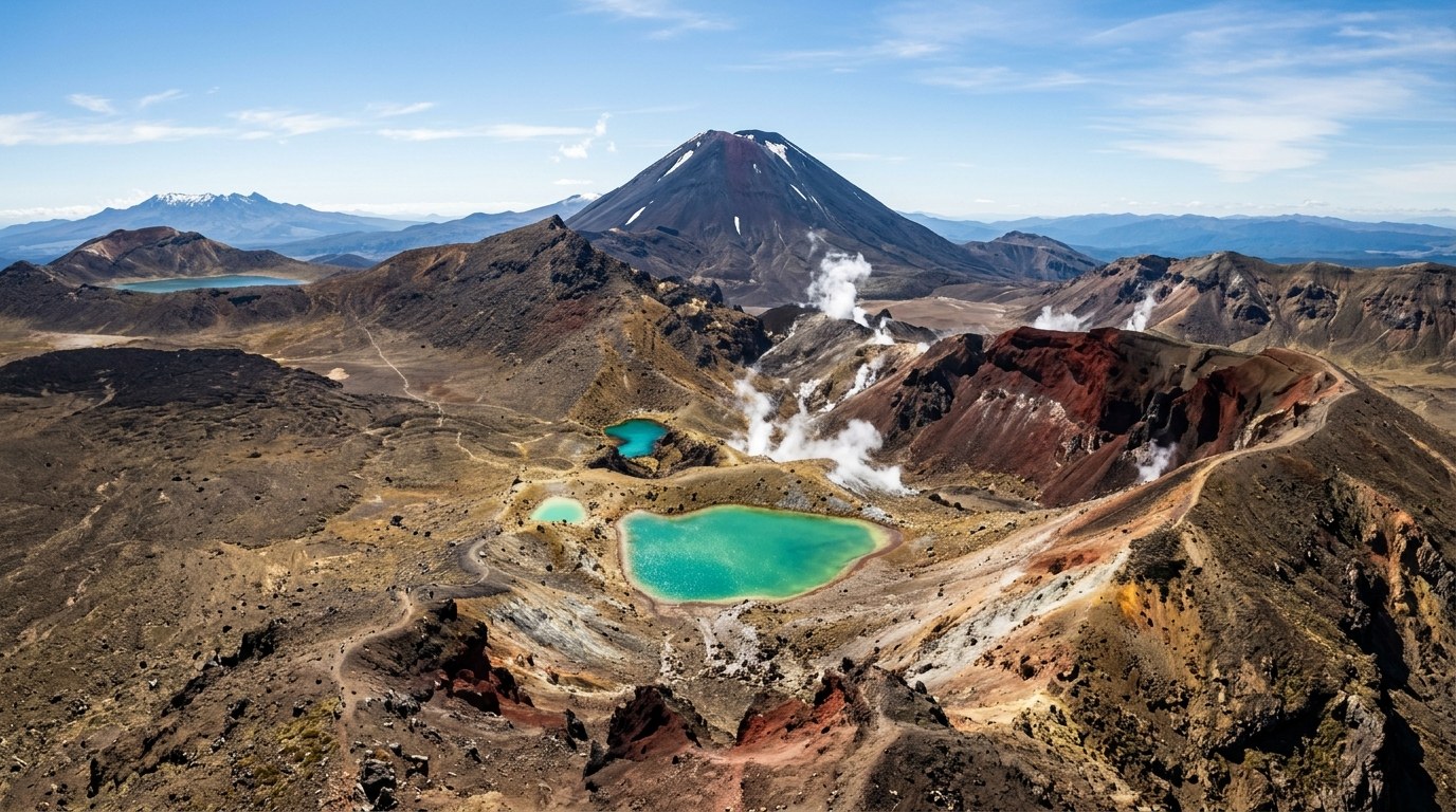
A national park is a protected landscape with ecological, cultural and practical boundaries. A good visit begins with the reason a place is protected, then fits the trip to its conditions.
How protection shapes park access
New Zealand’s national parks cover very different environments: forested ranges, alpine basins, volcanic terrain, fiords, lakes and islands. Their common purpose is to safeguard natural and historic values at a large scale. That purpose is not the same as building an outdoor playground. Tracks, roads, huts and visitor services exist within a conservation system that must also protect habitats, waterways and cultural relationships to land.
The Department of Conservation manages many visitor facilities and tracks, while other public and private bodies manage places that can look similar on a map. A “park” may be a national park, regional park, scenic reserve, marine reserve or private conservation area. Each designation has different rules. A trailhead sign and the current official page are more reliable than an assumption based on the scenery.
Some landscapes carry deep meaning for mana whenua. Names, stories and access arrangements can reflect an ongoing relationship rather than a past event. A visitor can enjoy a place without assuming that every part of it is open, neutral or interchangeable with another scenic site. The boundaries are part of understanding the place.
Choose the right kind of park day
Track grades are not a promise that a route will feel easy to every walker. Fitness, balance, footwear, weather and the experience of the least confident person all change the day. A short track with a river ford can be more demanding than a longer, dry path. Choose by the hardest section, not the most attractive picture.
People travelling with children, older adults or mobility needs can use access notes to identify surfaces, barriers, seating and toilets. A visitor centre can sometimes clarify current conditions, but accessible facilities vary widely. Planning an alternative close to the road can preserve a good day if a route proves unsuitable.
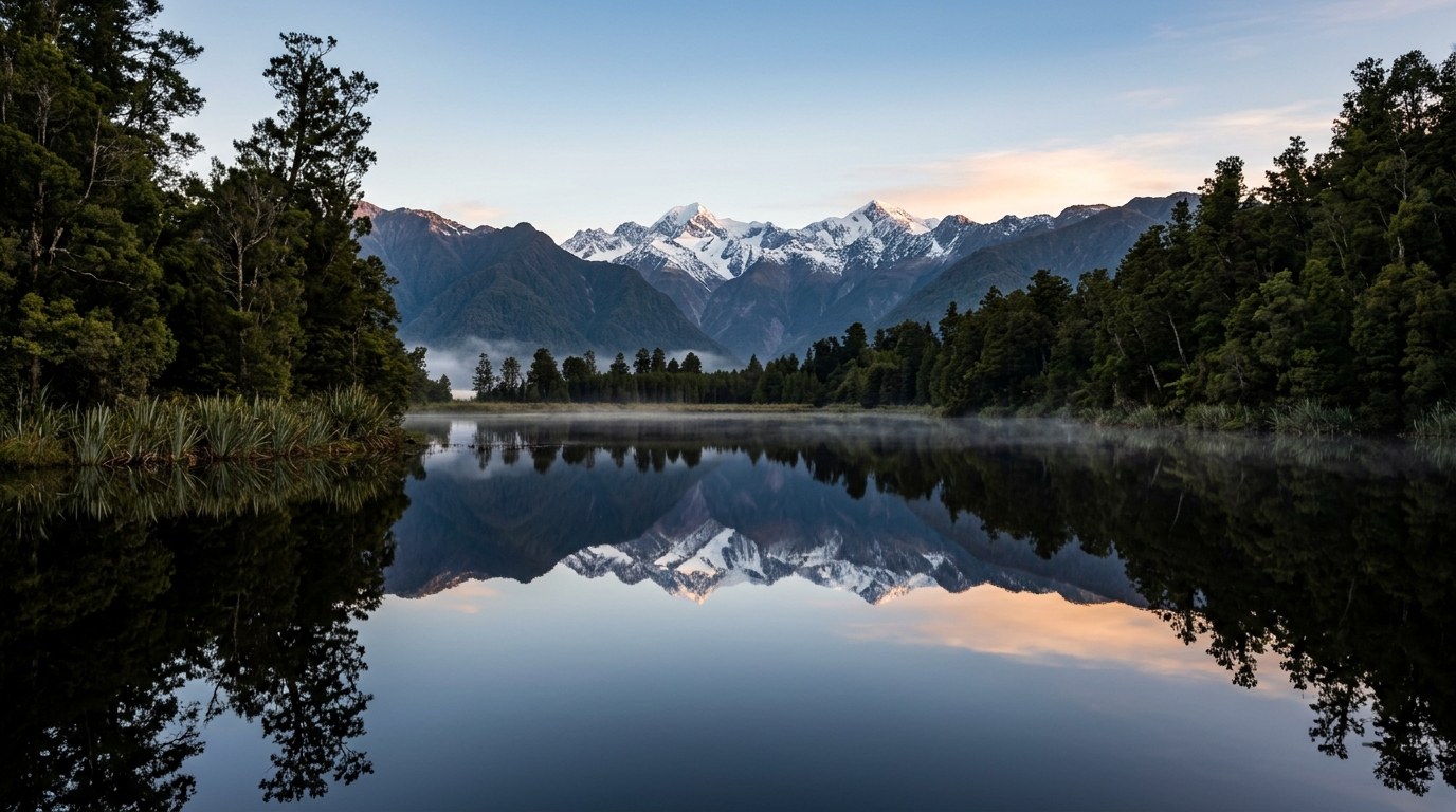
National parks are not one climate zone
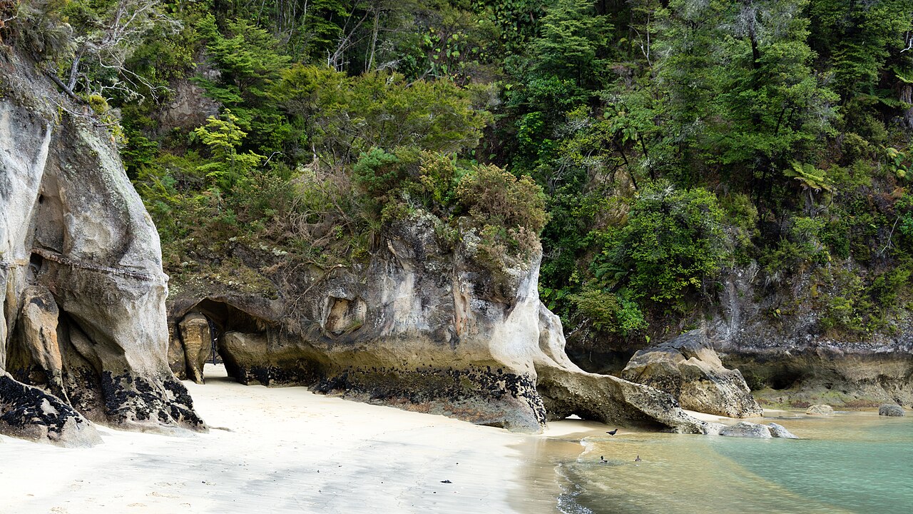
Weather in New Zealand’s protected areas changes quickly. A forecast for a nearby town may not represent an exposed ridge, alpine saddle or western valley. Rainfall can raise streams; strong wind can make a high route unsafe; cloud can remove visibility and navigation cues. Cold rain is a serious risk even when the air temperature appears mild.
DOC’s Land Safety Code provides five practical checks: choose a trip that fits the group, understand the weather, pack warm clothing and extra food, share the plan and carry reliable ways to get help. The exact gear changes with the trip. A walking track close to a road has different needs from an overnight route or alpine basin, yet neither should depend on a phone signal or perfect forecast.
Rivers deserve special attention. Unbridged crossings are common on some tracks, and water levels can rise after rain far upstream. A crossing that looked manageable earlier may become dangerous on the return. If the water is high, fast or coloured, turn back. Reaching a destination is never more important than keeping the group out of a flooded channel.
DOC’s directory lists 13 national parks. Tongariro, Whanganui and Te Papa-Kura-o-Taranaki are in the North Island; Abel Tasman protects a coastal landscape; Arthur’s Pass and Aoraki/Mount Cook cross the Southern Alps; Fiordland and Rakiura extend into the far south. Track, hut and campsite access varies by park and by season, so a park boundary alone does not confirm that a facility is open or bookable. The DOC directory and boundary map show current names and link to local access information.
Plan huts, campsites and bookings
Backcountry huts range from basic shelters to serviced buildings with bunks, heating or cooking facilities. The category and fee do not guarantee a restaurant, shop or mobile service. Carry the food and equipment the trip requires, and read hut guidance before leaving. Bookable huts and campsites can fill quickly during busy periods or on famous routes.
Multi-day walks may be one-way. A vehicle parked at the start does not help at the far end, so shuttle, boat or local transport needs to be arranged in the correct direction. Check the final departure time as well as the start time; missing it can turn a completed walk into a difficult roadside problem.
Weather can make a planned overnight route impossible even after the group reaches the trailhead. A flexible plan includes a lowland alternative and an extra food reserve. When a hut is full, camping is not automatically permitted nearby; the track’s rules govern where overnight stays can happen.
Protect what makes each park distinct
- Stay on formed tracks where signs direct visitors. Shortcuts can widen erosion scars and damage plant communities.
- Leave plants, rocks, bones, shells and cultural objects where they are. Removing a small item changes a shared site and may breach the law.
- Keep food secure and rubbish packed out. Wildlife that learns to feed from people is more vulnerable around roads and campsites.
- Follow fire, dog and drone restrictions. Notices for the specific park and season carry the current rule; advice from another area may not apply.
- Clean footwear and equipment where requested. Seeds, soil, didymo and other contaminants can move between catchments.
These habits are practical conservation measures, not symbolic gestures. A boot can carry seeds, a dog can disturb a ground-nesting bird, and a food wrapper can attract wildlife. Small impacts accumulate most quickly at popular access points, where people repeatedly leave the marked route or feed animals.
Choose a park by experience
| Visit type | What defines it | Planning question |
|---|---|---|
| Short walk | Marked track near a road or visitor centre | Is the return time, surface and access suitable for everyone in the group- |
| Day hike | Several hours of walking, often with elevation or exposed ground | Does the forecast match the route’s highest point and likely return time- |
| Great Walk or multi-day route | Managed overnight itinerary with transport, campsites or huts | Are bookings, track direction, water and exit transport confirmed- |
| Alpine trip | Snow, steep slopes, avalanche terrain or remote navigation | Does the group have suitable training, equipment and a conservative turnaround plan- |
| Wildlife or cultural visit | Observation or interpretation is the main purpose | Are there seasonal limits, permits, quiet zones or local protocols- |
Some visitors want a landscape they can understand from a short walk; others want several days away from roads and services. These are different kinds of trip. A national park does not need to be approached through a strenuous hike to be worthwhile, and a remote route is not automatically a deeper experience.
For a first outdoor day, choose a route with clear access, a manageable return time and a reliable weather alternative. For a hut trip, verify bookings, equipment, water and transport. For an alpine objective, use current specialist advice and skills appropriate to snow, avalanche exposure or navigation. The Department of Conservation’s track and alert pages help visitors distinguish these options before departure.
Regional differences matter too. A coastal park, volcanic park and fiordland forest require different clothing, transport and environmental care. The guide to native wildlife focuses on species and observation practices; this page focuses on the protected places where habitats and visitor access meet.
Why park routes close
Closures may follow storms, slips, fire danger, wildlife activity, maintenance, pest-control operations or cultural restrictions. A closure is not an invitation to find an unofficial side path. It may be protecting a site from damage or keeping visitors away from a hazard they cannot judge from the road.
Choose another experience within the same region instead of forcing the original route. A lowland walk, visitor centre, local history site or town-based day can offer context without adding pressure to the closed area. Park access works best when visitors accept that the landscape, its guardians and its conditions have a say in how the trip unfolds.
Park access and map boundaries
A national park may sit beside a road, settlement, private station, marine reserve or a place where mana whenua exercise particular responsibilities. The boundary on a map helps locate a protected area, but it does not answer every question about gates, parking, customary access, dogs, fires, drones or seasonal restrictions. Read local notices at the trailhead and check the current DOC page.
Park landscapes also contain areas with different levels of development. A visitor centre, formed track, backcountry hut and remote alpine basin each imply a different level of preparation. Facility names can be misleading: a basic hut may have no cooking equipment or water treatment, while a serviced site may still require visitors to carry food and fuel.
People with mobility, sensory or health needs can check track surfaces and facilities before travelling. A reserve may have a short, firm path near the road even when its best-known walk is steep. Gradients, width, passing spaces, seating and toilet access are often listed separately from the main track description.