


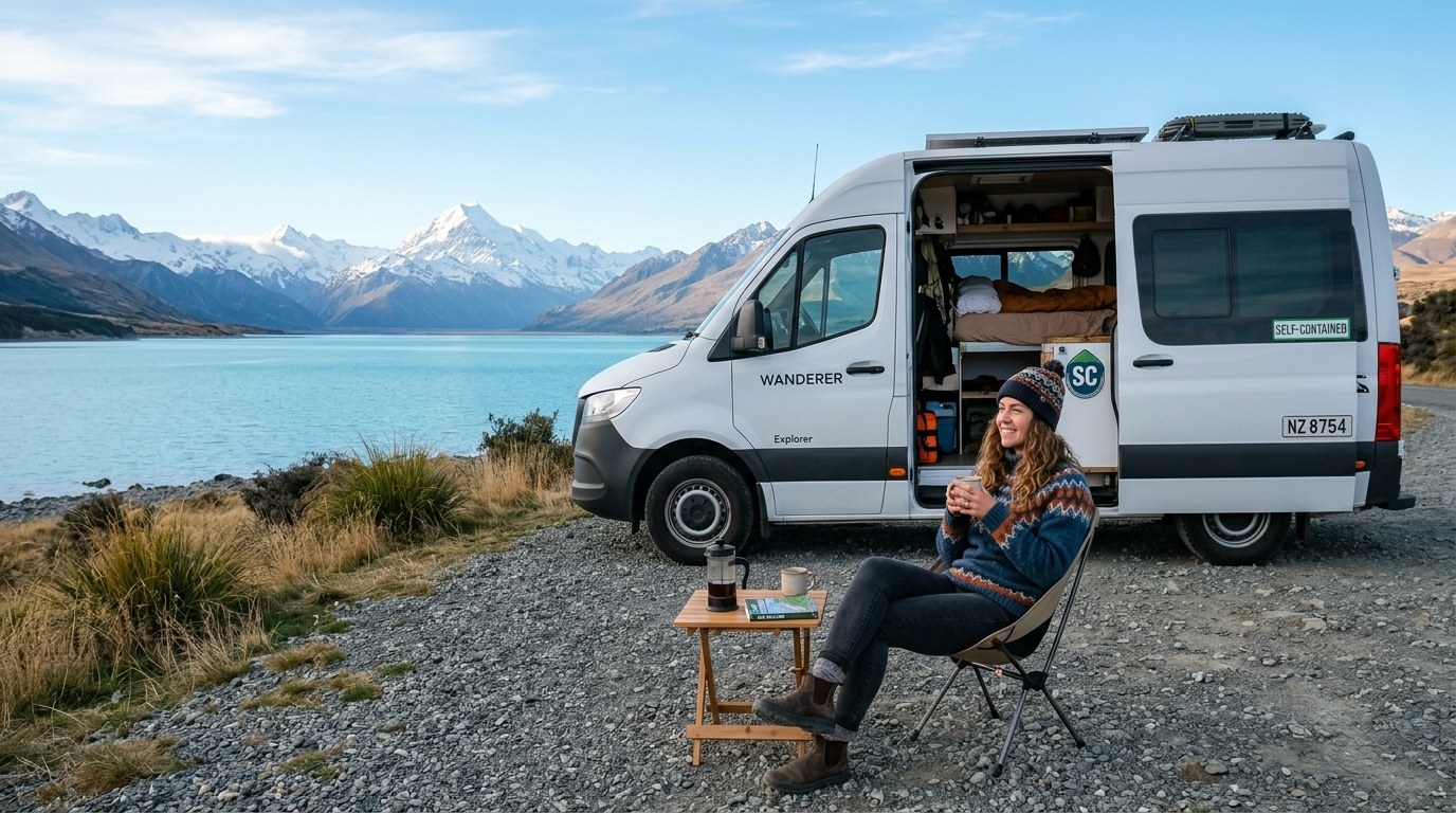
The most useful New Zealand travel tips are logistical: road miles take time, weather can redraw the day, and access rules differ from one reserve or council area to the next.
Leave more time than the map suggests
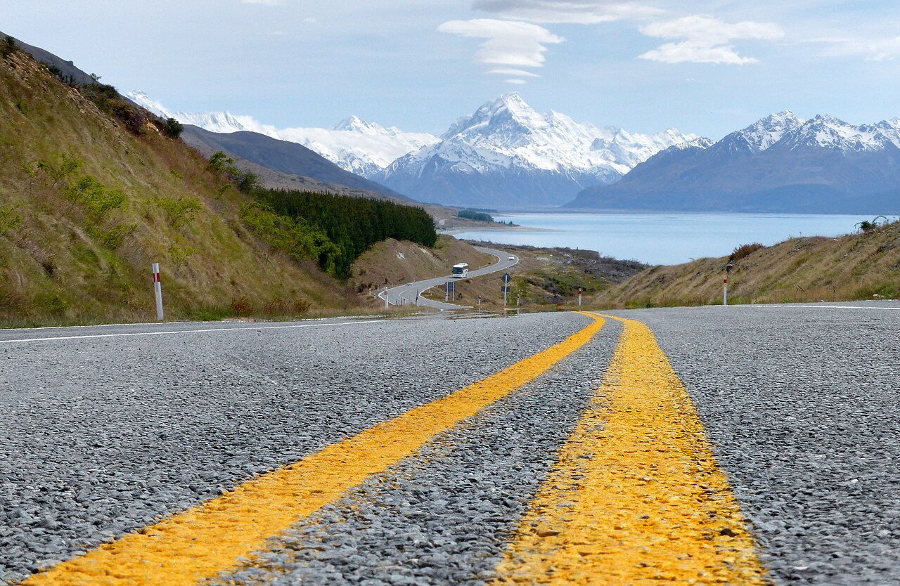
New Zealand’s roads can be narrow, steep and winding, with one lane in each direction on many routes. A short straight-line distance may cross a mountain pass or pass through towns with slower traffic. Travel estimates on a map are a baseline, not a promise. Add time for fuel, food, road works, photographs and the point at which a driver needs a proper break.
Vehicles travel on the left. Visitors should review the New Zealand Road Code before driving, especially if their home road system uses the right-hand side. Keep left after fuel stops and viewpoints, watch for one-lane bridges, and do not stop in the carriageway when a scenic view appears. A safe pull-off is part of the route; a sudden brake is not.
Driver fatigue is a practical risk on long-distance travel. A flight followed by a cross-country drive, or an early ferry followed by hours behind the wheel, is a poor combination. Plan a shorter first day, share driving when possible and stop in a safe place when concentration drops. A vehicle that is not comfortable to drive on hills can make a modest itinerary much harder.
Vehicle size changes the driving task. A campervan has a longer braking distance and a wider turning path than a small car; roof height can matter at car parks and branches, while one-lane bridges leave less room for correction. Practise reversing and use a passenger as a spotter before a narrow driveway or roadside stop.
The North Island route planner and South Island regional guide show how these distances affect different travel corridors.
Transport choices depend on the itinerary
- Rental car
- Useful for regional loops, trailheads and small settlements. Read the rental terms for unsealed roads, ferry carriage and insurance exclusions.
- Intercity coach
- Connects principal towns without requiring a driver. Last-mile access to beaches, parks and rural accommodation may need a separate shuttle.
- Rail
- Works on selected scenic and urban corridors. It is not a dense island-wide network, so onward transport needs to be part of the route.
- Cook Strait ferry
- Links the islands with check-in, vehicle and sailing conditions of its own. Keep a buffer before a flight or distant booking.
- Local shuttle or water taxi
- Can make a one-way walk or island visit possible. Seat availability, seasonal operation and the return departure may set the day.
The ferry crossing is a transport link with check-in windows, vehicle rules and possible weather disruption. Keep a buffer before a flight, a booked tour or a distant overnight stay. If the crossing is cancelled or delayed, a route with no spare time can unravel quickly.
A mixed-mode trip can be efficient: use buses or public transport in a city, hire a car for a regional stretch, then return it before moving on. The best arrangement depends on how often the itinerary leaves major centres. Renting a car for every day can create parking and fatigue costs without adding useful access.
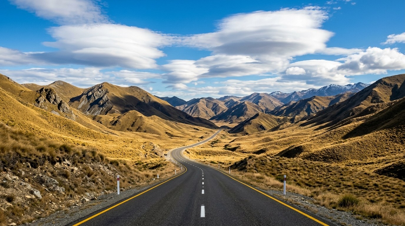
Weather and daylight belong in the route
Conditions can change across short distances. A warm city morning does not forecast the alpine pass, exposed coast or high plateau later that day. Rain can raise rivers; wind can affect ferries and exposed ridgelines; cold can arrive with cloud or at night even during a summer trip. Pack for the highest, most exposed activity on the route; clothing suited to a warm town may leave a traveller cold on a ridgeline or wind-swept coast.
For outdoor trips, use current forecasts and Department of Conservation alerts. The DOC Land Safety Code asks visitors to choose a suitable trip, understand the weather, pack warm clothing and extra food, share plans and carry ways to call for help. Those steps are especially relevant on routes with unbridged streams, alpine terrain or limited mobile coverage.
Daylight length changes through the year. A walk that fits easily in December may not fit the same way in July. Start early on long routes, keep a headlamp in the pack and do not rely on a phone battery as the only navigation or emergency tool. An alternative shorter walk should be identified before the main plan is abandoned.
Walking and camping on conservation land
Track names alone say little about difficulty. Check length, elevation, surface, river crossings, exposed sections and expected time. A maintained short walk can be more suitable than a famous route that requires mountain fitness or a booked hut. Tell someone the route and return time; a distress beacon can summon help in a life-threatening situation where mobile coverage is absent.
Camping rules depend on land manager, council bylaws, location and vehicle certification. “Freedom camping” does not mean camping anywhere. DOC-managed conservation land may prohibit or restrict overnight stays in some areas, and designated sites may have different rules from a road pull-off. Waste, human waste, fires, noise and damage to vegetation affect both the site and local residents.
From 7 June 2026, a vehicle needs the new green warrant to count as certified self-contained under the updated requirements. A portable toilet alone no longer meets that certification. Where overnight parking is restricted to certified self-contained vehicles, read the current signs and official guidance before choosing the site; local restrictions can apply even when a vehicle holds a warrant.
Great Walk huts and campsites have route-specific booking systems and seasonal operating details. A hut booking settles the bed; forecasts, transport at both ends of the track and realistic time for the next overnight leg still shape the day. Some walks are one-way and depend on a shuttle or water taxi.
Biosecurity at borders and on trails
New Zealand’s biosecurity rules protect agriculture and native ecosystems. Declare risk goods when arriving in the country, follow inspection instructions and clean outdoor equipment between locations when required. Soil, seeds, fresh food, untreated wood, animal products and used gear can carry pests or disease. A small cleaning step at a trailhead can matter more than it appears when a sensitive island or forest is involved.
Within the country, keep dogs leashed where signs require it, do not feed wildlife and follow local pest-control notices. Some conservation operations restrict dogs or access after baiting. These restrictions are location-specific; an open track elsewhere does not mean the same rules apply in a nearby forest.
Small-town services need a little foresight
Fuel, groceries, pharmacies and accommodation are not evenly spread across the map. A rural stop may have limited opening hours, while a popular summer destination may fill its accommodation months in advance. Keep the tank above empty in remote regions and carry drinking water and food for the distance to the next reliable service. Card and mobile coverage can vary, so keep a practical backup for payments and navigation.
Quieter destinations described in the regional detour guide often depend on the same local opening hours and service gaps.
Bus routes connect many larger centres on fixed timetables. Rural services may run only on selected days, while beaches and tracks can require a shuttle for the last leg. A car-free itinerary depends on transport for both the town-to-town journey and the final leg to the trailhead or access point.
Local time and opening hours can change around public holidays. A restaurant shown in a map listing may close for the season or operate on a limited schedule. Confirm directly before relying on one service for dinner, fuel or a late check-in.
Use a compact pre-departure check
- Confirm the road status, weather and any conservation-area alerts for the actual route.
- Check that the driver’s licence is valid for the vehicle and current New Zealand requirements.
- Read the rental agreement for unsealed-road, ferry and insurance conditions.
- Confirm ferry, shuttle, hut and accommodation times, including check-in deadlines.
- Pack layers, water, food, maps and a headlamp for the hardest outdoor activity.
- Check camping signs, council restrictions and vehicle certification before settling overnight.
- Share an outdoor plan with a person who can act if the return time passes.
This check is short enough to repeat each morning and specific enough to catch a road closure, an expired booking or a weather change. It is more reliable than assuming that yesterday’s conditions will hold for the next region.
Make the first and last travel days lighter
Arrival days often combine jet lag, luggage, unfamiliar traffic and a long transfer. Keep the first drive short and leave the most demanding walk for another day. On departure, avoid a full-day route that ends close to an international flight or ferry check-in. Allow a buffer between the final transfer and check-in, especially when road, ferry or weather delays could affect the connection.
On arrival, choose an overnight close enough to the airport that luggage and fatigue do not dictate an extra-long drive. Before departure, allow time for the rental return, fuel policy, vehicle inspection, traffic and ferry or flight check-in. A short final transfer leaves room for road works or a slower connection.